01
Pacing schedules
Full-day, half-day, 8-week, and workshop formats.
Watch a real investigation unfold, look inside a sample lesson, and get a feel for the energy your students would walk into.
Take a peek inside a real Grade 2 lesson. Tap any material to flip through the actual pages.
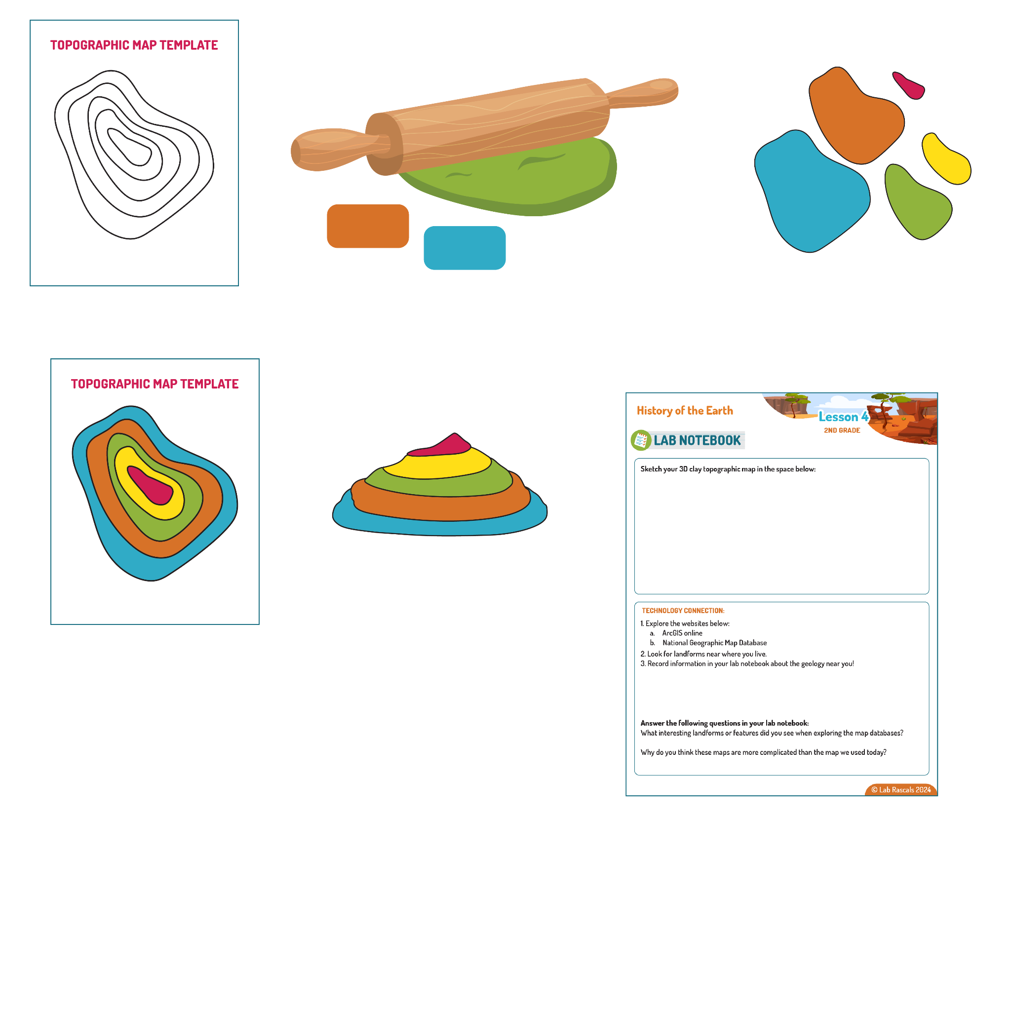

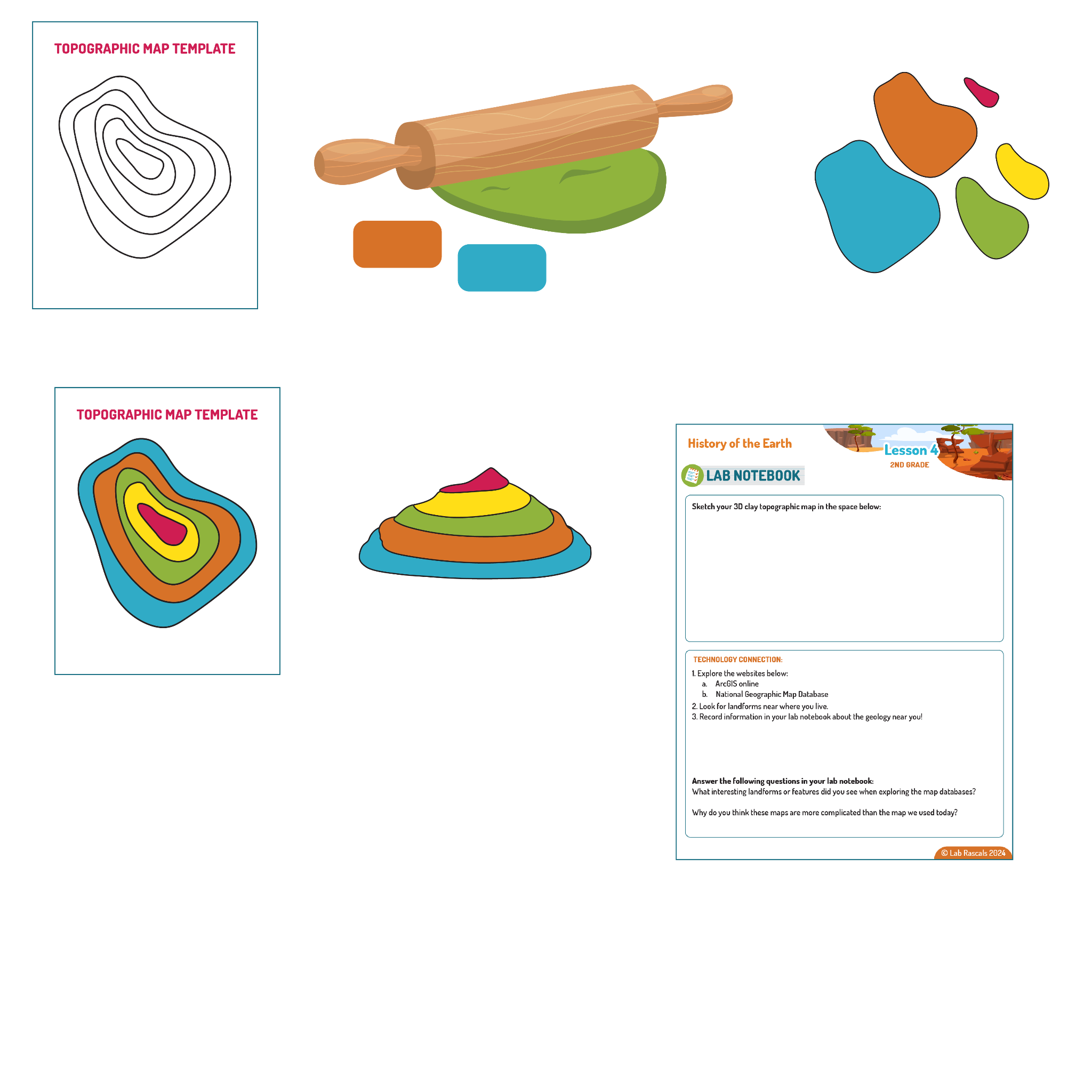
2-ESS2-2: Develop a model to represent the shapes and kinds of land and bodies of water in an area.
2-ESS1-1: Use information from several sources to provide evidence that Earth events can occur quickly or slowly.
ISTE.1.4.d Open-Ended Problems
Students exhibit a tolerance for ambiguity, perseverance and the capacity to work with open-ended problems
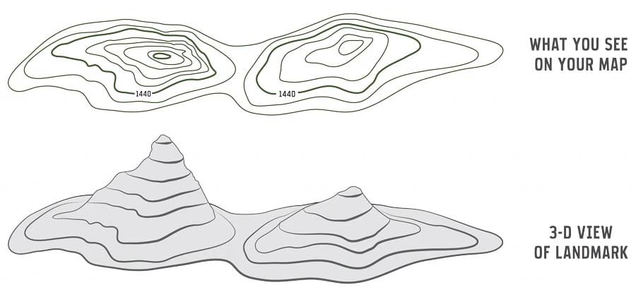
This lesson connects to NGSS standard 2-ESS2-2 by engaging students in developing a 3-D model to represent the shapes and kinds of landforms using topographic maps and modeling clay. By constructing these models, students learn to visualize and understand the physical features of the Earth's surface, like mountains, valleys, rivers, and cliffsides. Additionally, the lesson aligns with standard 2-ESS1-1 by encouraging students to use information from topographic maps to provide evidence of how landscapes change over time, whether quickly through events like landslides or slowly through processes like erosion. These activities help students grasp the concept of modeling landforms and interpreting changes in the Earth’s surface, the foundations to these two standards.
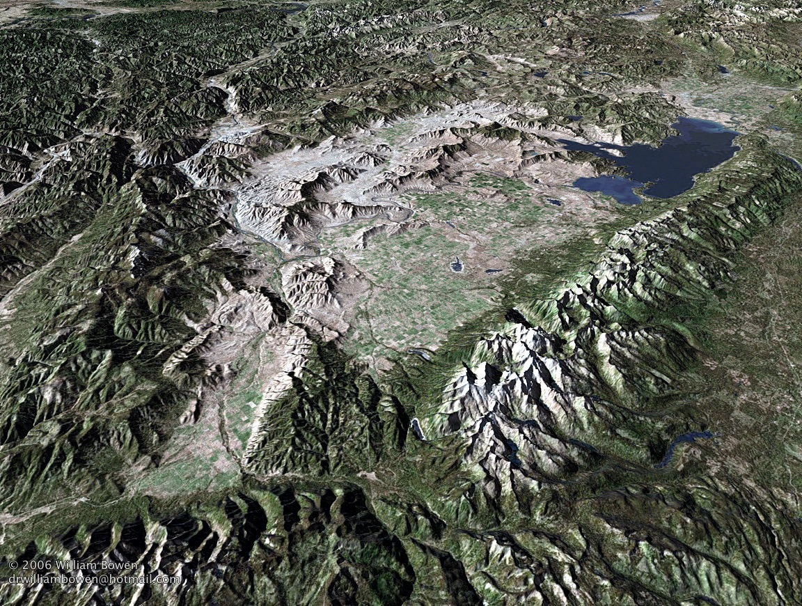
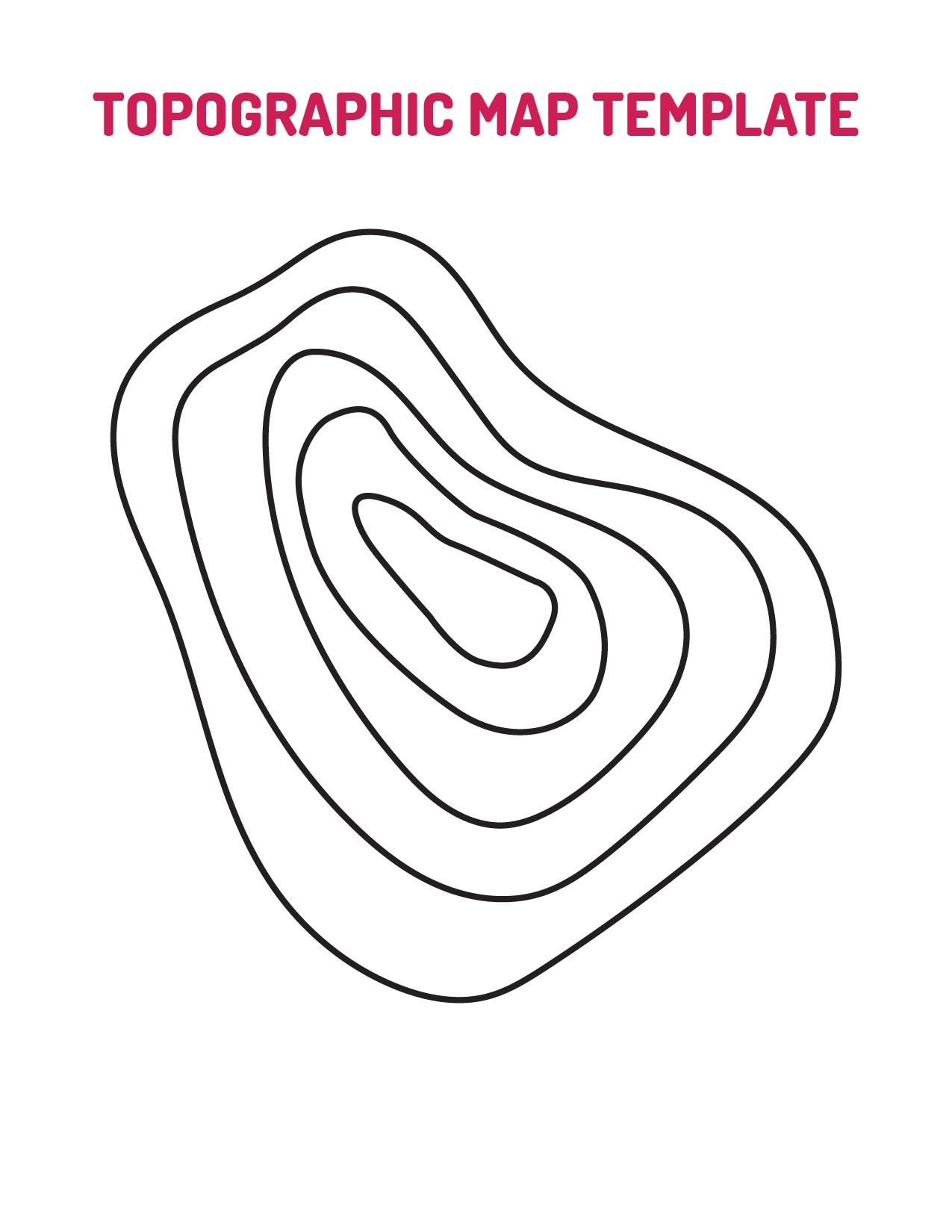
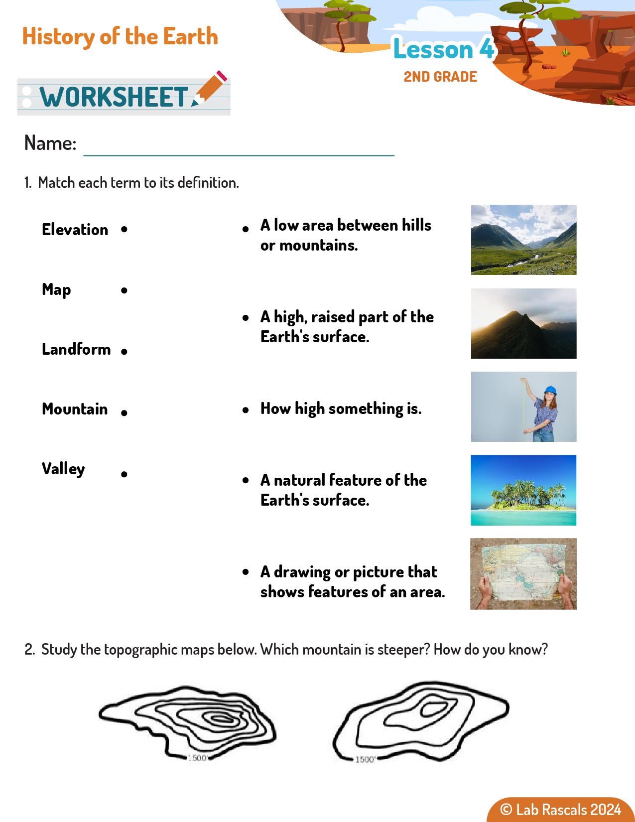
Topographic maps are a type of map that represents the Earth's surface in three dimensions. They use contour lines to show elevation and the shape of the land. Each contour line connects points of equal elevation, and the spacing of these lines indicates the steepness of the terrain. Closer lines mean a steeper slope, while wider lines indicate a flatter area. Topographic maps are essential tools for geologists, surveyors, engineers, and outdoor enthusiasts. They help in understanding the physical features of a landscape, planning construction projects, navigating hiking trails, and studying geological formations.
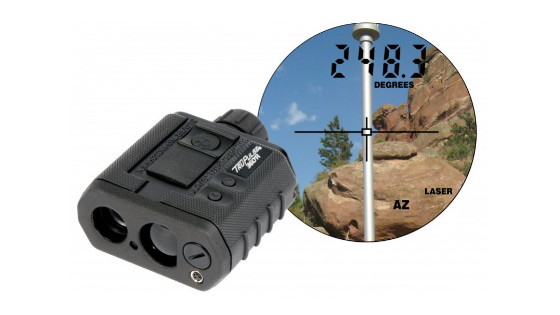
Geologists use topographic maps to analyze the Earth's surface and understand the geological processes that shape it. These maps provide detailed information about the height and shape of landforms, helping geologists identify areas of interest for further study. For example, topographic maps can reveal the presence of faults, the flow patterns of rivers, and the distribution of different types of rocks. By studying these features, geologists can make predictions about natural hazards, locate valuable mineral resources, and reconstruct the geological history of an area. Topographic maps are also used in environmental conservation to identify and protect important landforms and ecosystems.
In addition to topographic maps, geologists use various other types of maps to study the Earth. Geologic maps show the distribution, nature, and age of rock formations at the surface. These maps help geologists understand the geological history of an area and identify resources like minerals and fossil fuels. Resource maps indicate the locations of natural resources such as water, minerals, and energy reserves, guiding exploration and extraction efforts. Hazard maps highlight areas prone to natural disasters like earthquakes, landslides, and floods, helping in disaster preparedness and mitigation. Each type of map provides specific information that helps geologists comprehensively understand and manage the Earth's resources and hazards.
Ask the questions below to engage students and elicit their prior knowledge about this lab’s topics.
Ask the questions below as students complete the lab activity.
Students may not know all of these answers immediately, but the slides will guide them through the concepts.
2-ESS2-2: Develop a model to represent the shapes and kinds of land and bodies of water in an area.
2-ESS1-1: Use information from several sources to provide evidence that Earth events can occur quickly or slowly.
ISTE.1.4.d Open-Ended Problems
Students exhibit a tolerance for ambiguity, perseverance and the capacity to work with open-ended problems
| Objective | Does Not Meet Expectations | Meets Expectations | Exceeds Expectations |
|---|---|---|---|
| Use a topographic map to create a 3D model. | The student cannot create a 3D model based on a topographic map. | The student can accurately use a topographic map to create a 3D model. | The student can analyze a topographic map, predict what the 3D model will look like, then accurately use the map to create the mode. |
| Explain how geologists use topographic maps. | The student cannot explain how geologists use topographic maps. | The student can explain how geologists use topographic maps. | The student can explain how geologists use topographic maps in both short term (climate change, weather events) and long term (mountain formations, valley formation) ways. |
| Describe at least one other type of map that geologists use. | The student cannot describe at least one other type of map that geologists use. | The student can describe one other type of map that geologists use. | The student can describe more than one other type of map that geologists use. |
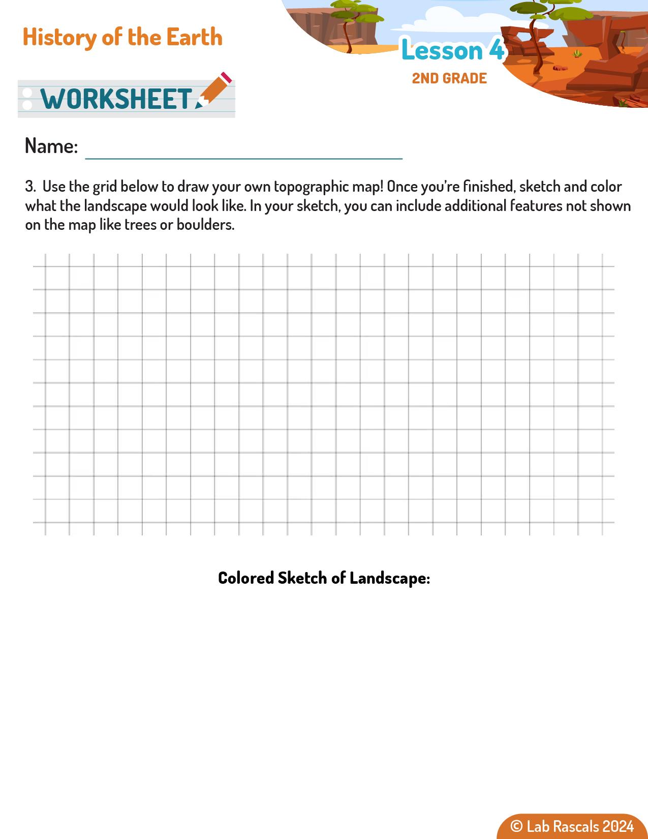
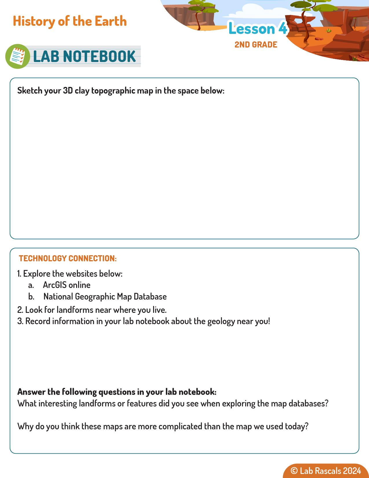
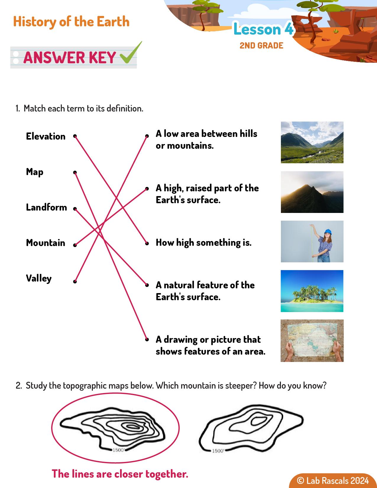
Preview only · Full, printable materials come with the curriculum
Full-day, half-day, 8-week, and workshop formats.
With a one-click Amazon link.
Every lesson follows a rhythm that keeps students curious
from the first minute to the last.
A question or surprising moment pulls students in.
Students test, build, and observe with real materials.
They put words to what they saw and connect it to the science.
They apply the idea in a new situation.
Objective-based rubrics show what each student understands.
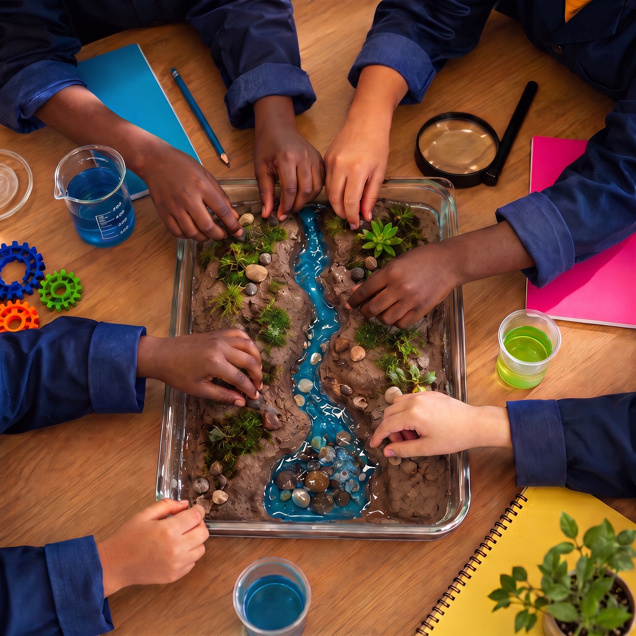
Students mid-investigation
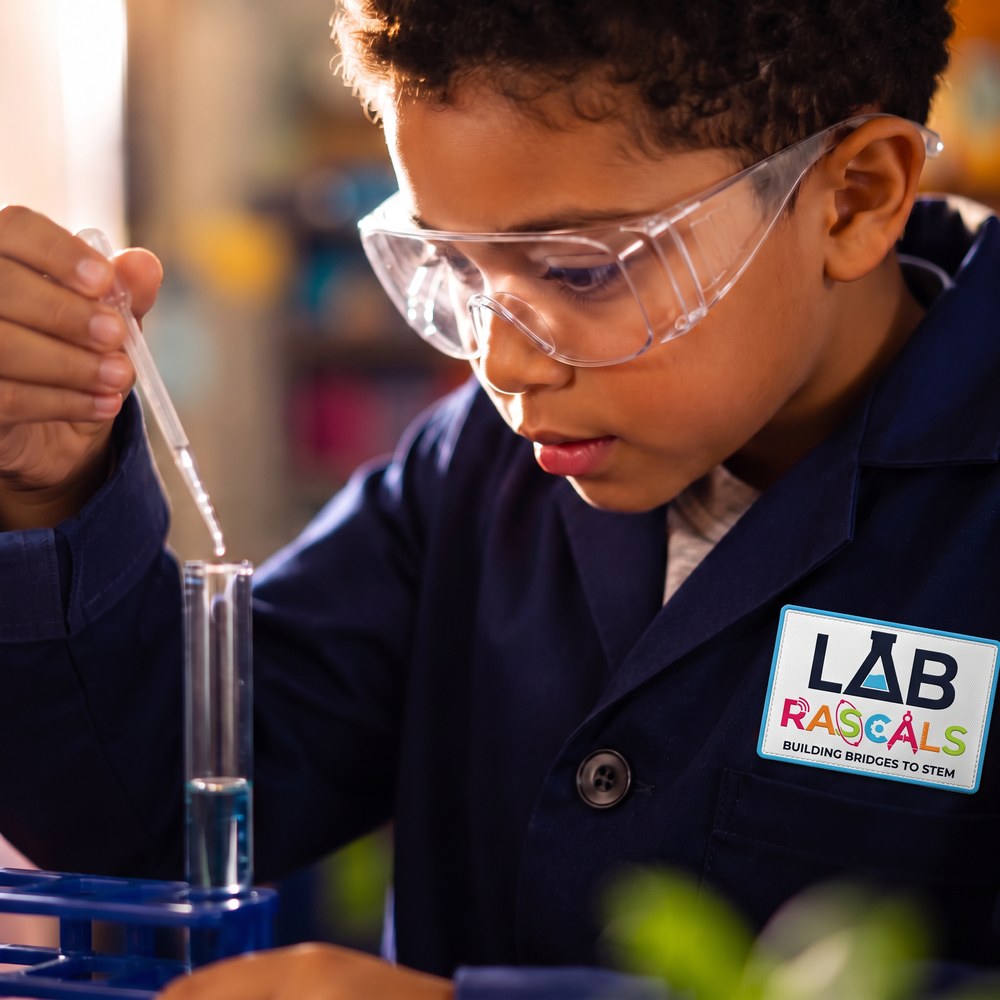
A focused young scientist
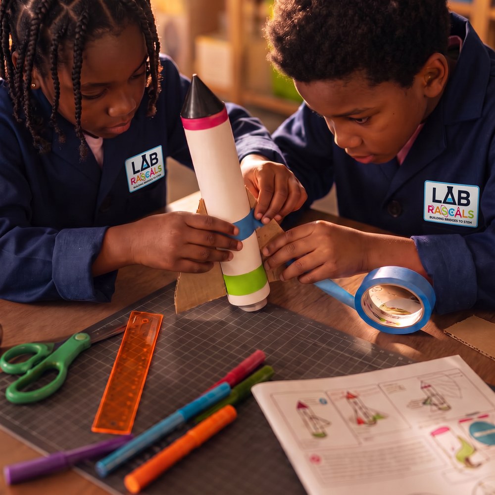
Hands-on engineering
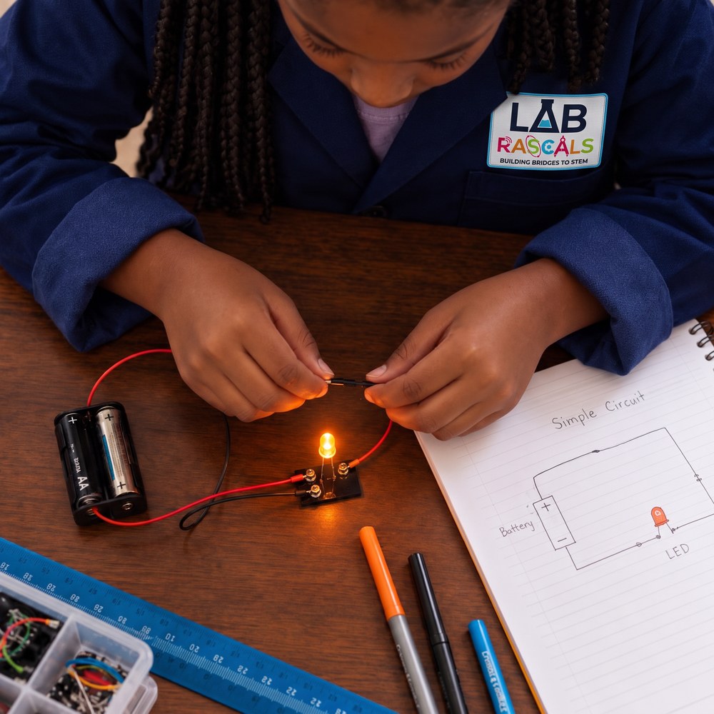
Building a circuit
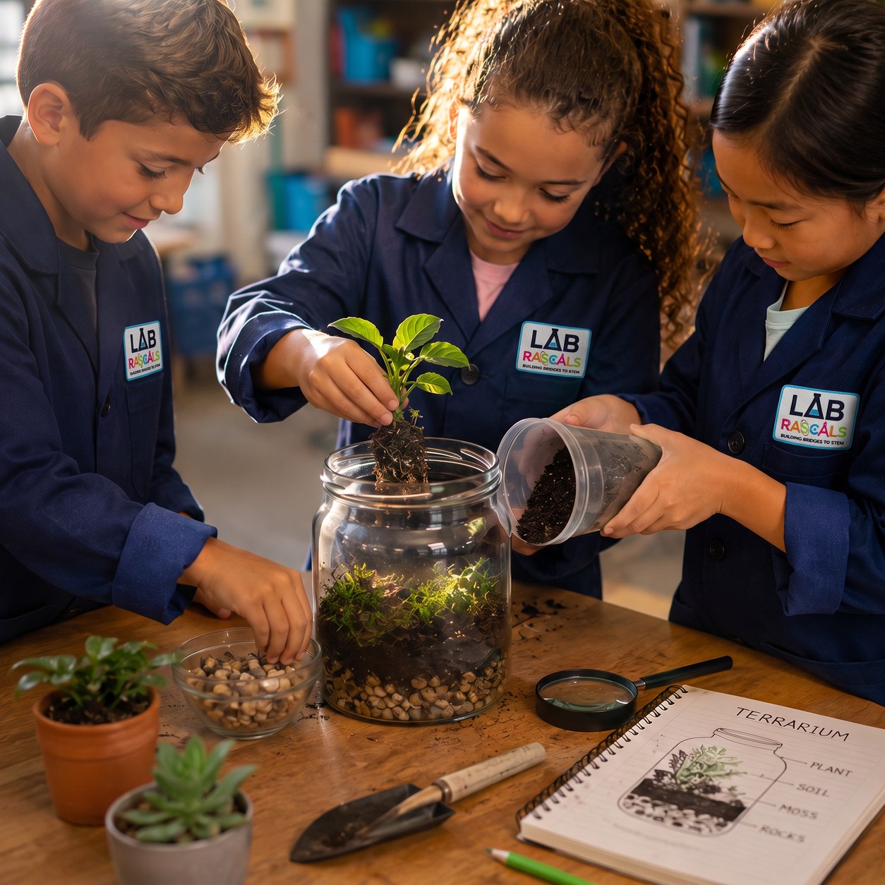
Group ecosystem build
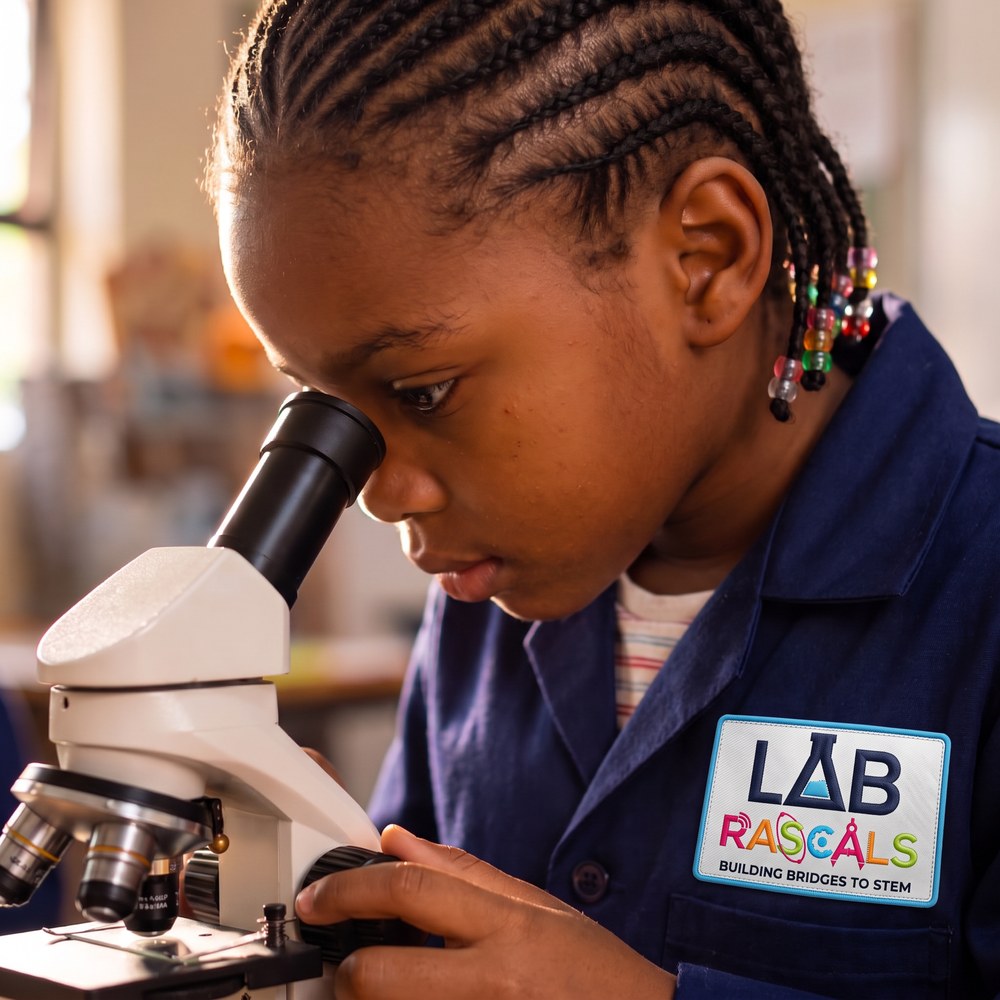
Using real science tools
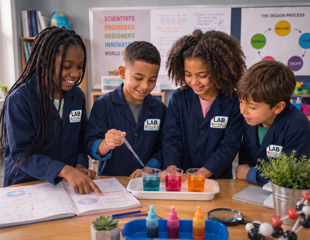
Examining a model together

Testing a build in Food Chemistry
Lessons open with a hook that makes kids want to find out what happens next.
Real materials and real investigations, not watching from a distance.
When learning feels meaningful, students carry it with them.
Book a discovery call to talk through fit, or
download the brochure to share with your team.