Everything you need to teach Lesson 4: Map It!
History of the Earth, Grade 2. Click any material to flip through the real pages.




Camp - HISTORY OF EARTH - Lesson 4 - Instructions
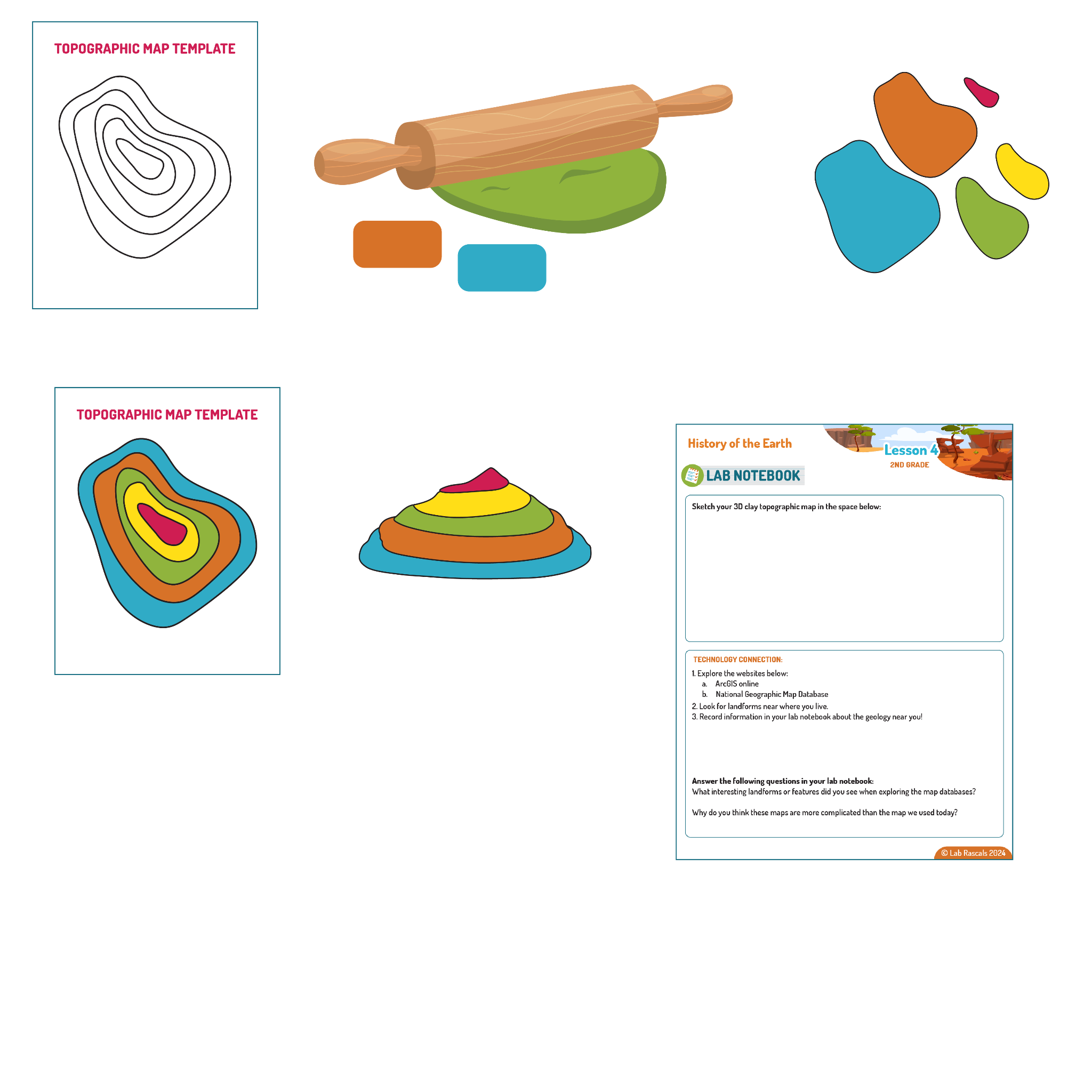
Lab Activity: Map It!
Materials:
- Printed topographic map
- Several colors of modeling clay or play doh
- Rolling pin (or dowel, water bottle, or flat object to roll clay)
- Paper plate
- Plastic disposable knife
Steps:
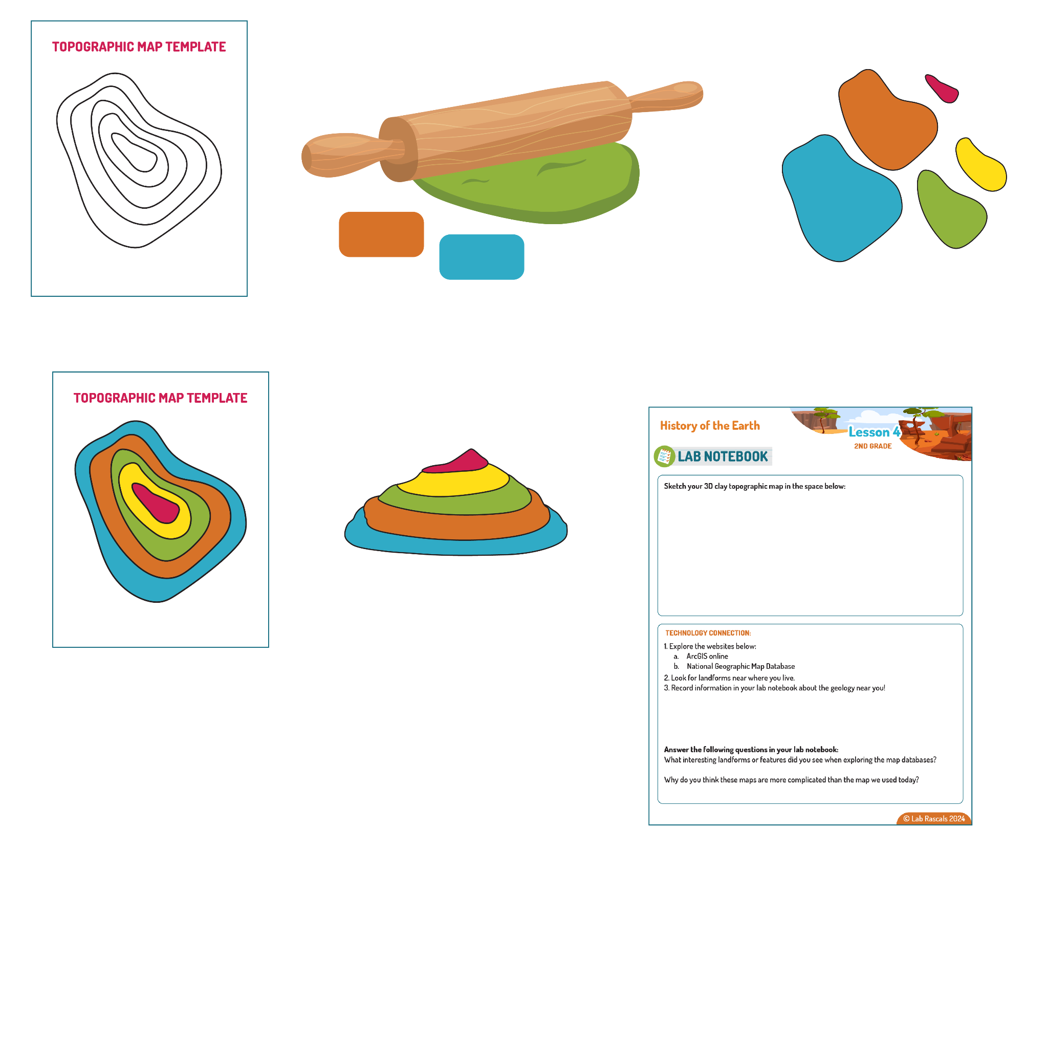
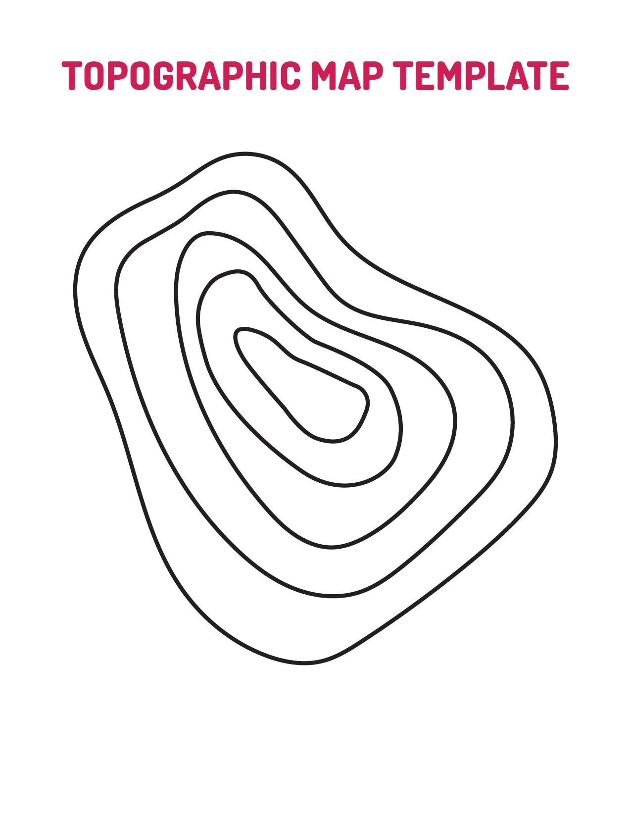
- Place the printed topographic map template on a flat surface.
- Use the rolling pin to flatten the modeling clay.
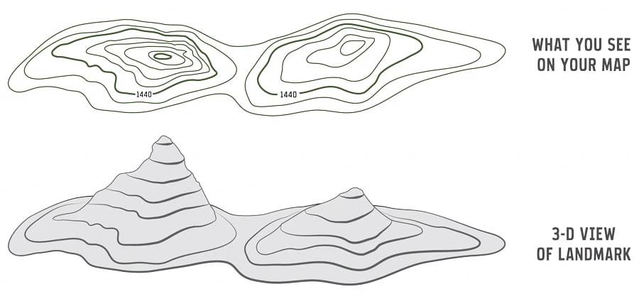
- Cut out pieces of clay to match the shapes on the topographic map. Use a different color for each layer.
- Stack the clay pieces on a paper plate to create a 3-D model.
- Use the plastic knife to shape and smooth the clay.
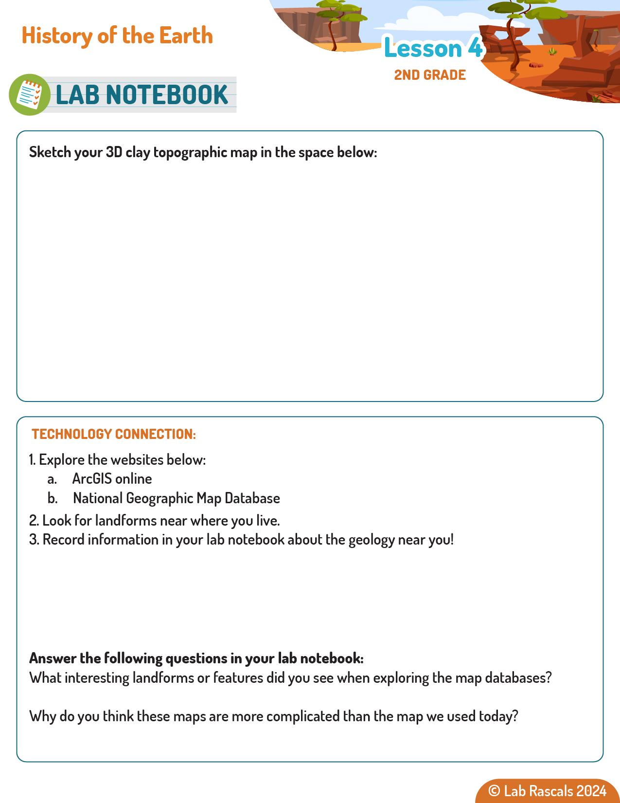
- Sketch your clay creation in your lab notebook.
Camp - HISTORY OF EARTH - Lesson 4 - Teacher Guide
NGSS Standard:
2-ESS2-2: Develop a model to represent the shapes and kinds of land and bodies of water in an area.
2-ESS1-1: Use information from several sources to provide evidence that Earth events can occur quickly or slowly.
Technology Standard:
ISTE.1.4.d Open-Ended Problems
Students exhibit a tolerance for ambiguity, perseverance and the capacity to work with open-ended problems
Technology Resource:
- ArcGIS online
- National Geographic Map Database
Lab Activity: Map It!
Lesson Objectives: After this lab activity, students will be able to:
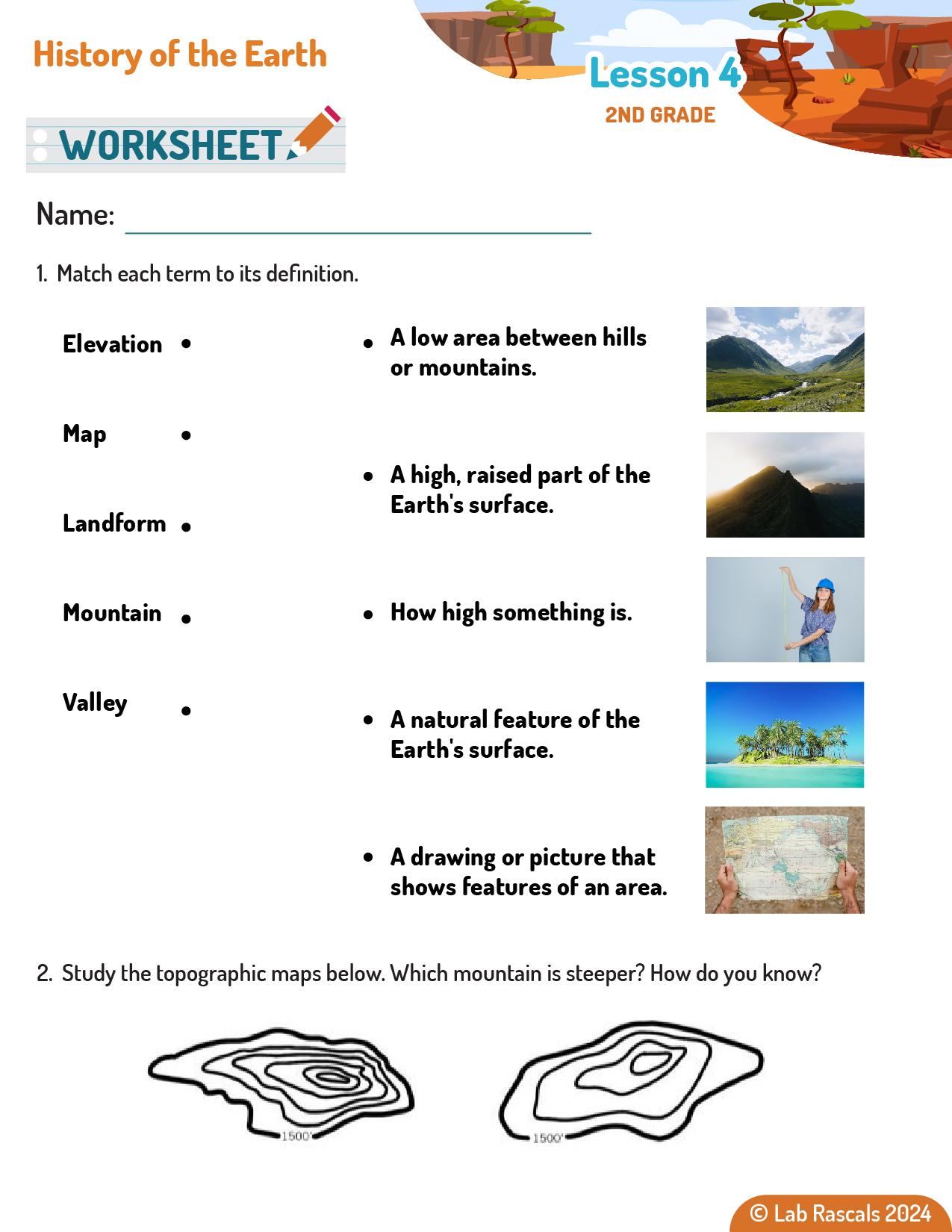
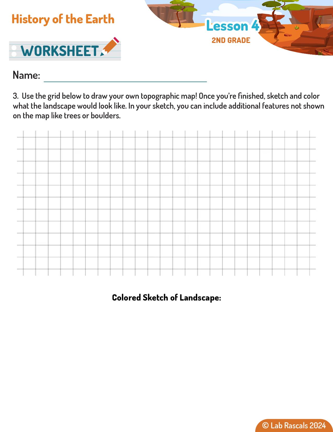
- Use a topographic map to create a 3D model.
- Explain how geologists use topographic maps.
- Describe at least one other type of map that geologists use.
Connecting to the Standard:
This lesson connects to NGSS standard 2-ESS2-2 by engaging students in developing a 3-D model to represent the shapes and kinds of landforms using topographic maps and modeling clay. By constructing these models, students learn to visualize and understand the physical features of the Earth's surface, like mountains, valleys, rivers, and cliffsides. Additionally, the lesson aligns with standard 2-ESS1-1 by encouraging students to use information from topographic maps to provide evidence of how landscapes change over time, whether quickly through events like landslides or slowly through processes like erosion. These activities help students grasp the concept of modeling landforms and interpreting changes in the Earth’s surface, the foundations to these two standards.
Teacher Background Information
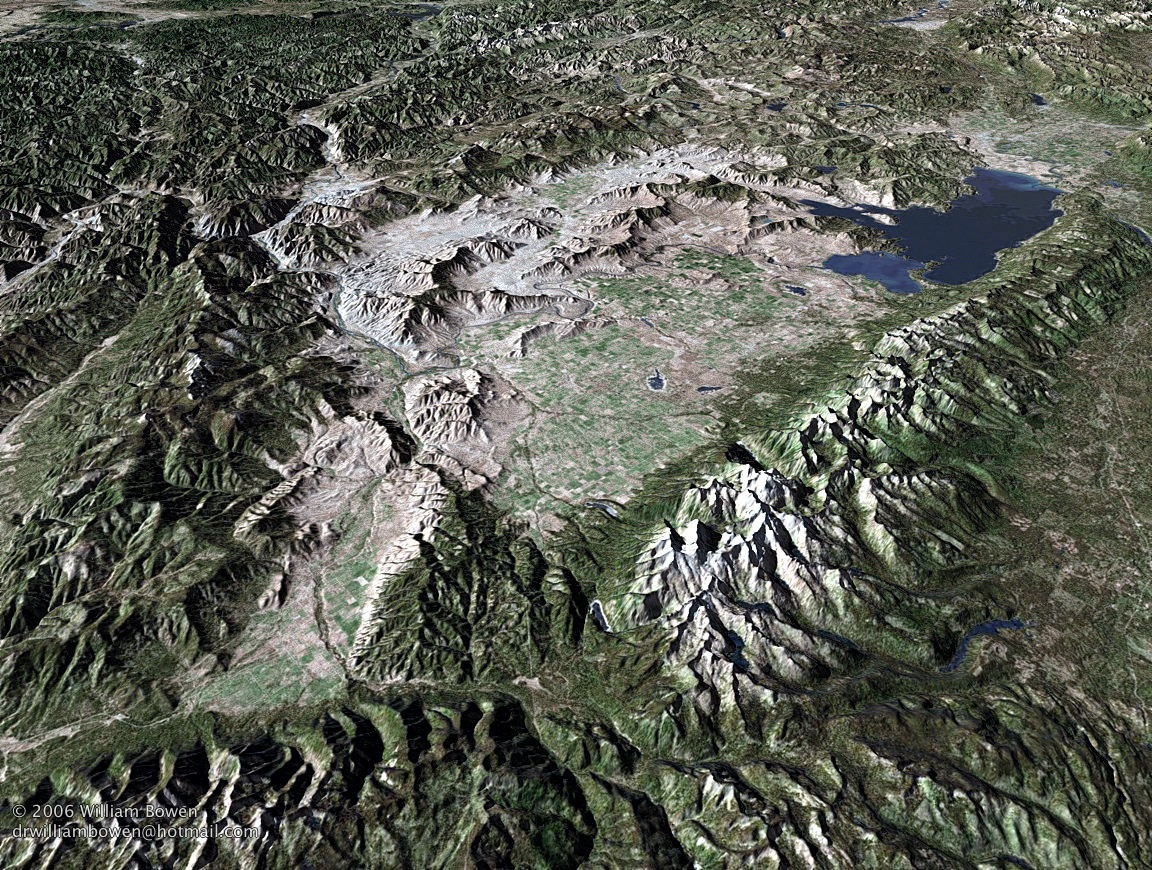
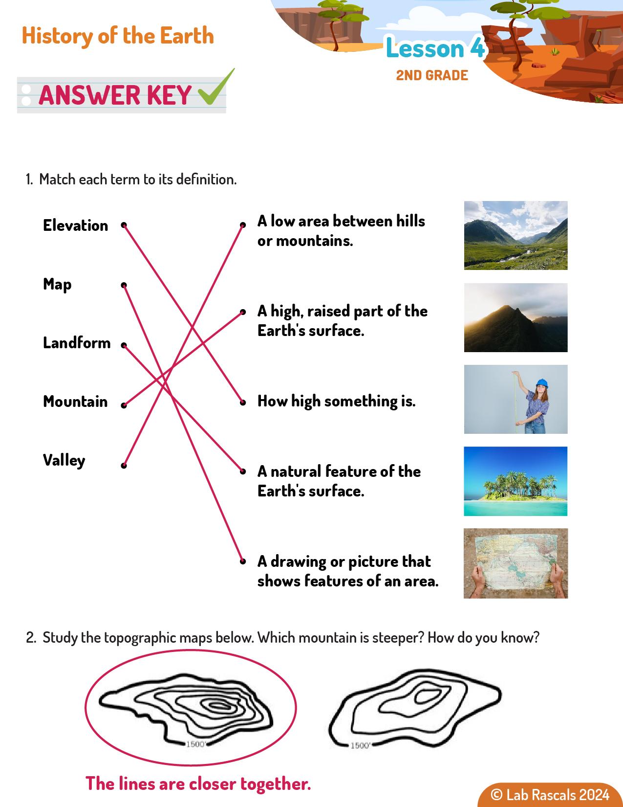
Topographic maps are a type of map that represents the Earth's surface in three dimensions. They use contour lines to show elevation and the shape of the land. Each contour line connects points of equal elevation, and the spacing of these lines indicates the steepness of the terrain. Closer lines mean a steeper slope, while wider lines indicate a flatter area. Topographic maps are essential tools for geologists, surveyors, engineers, and outdoor enthusiasts. They help in understanding the physical features of a landscape, planning construction projects, navigating hiking trails, and studying geological formations.
Geologists use topographic maps to analyze the Earth's surface and understand the geological processes that shape it. These maps provide detailed information about the height and shape of landforms, helping geologists identify areas of interest for further study. For example, topographic maps can reveal the presence of faults, the flow patterns of rivers, and the distribution of different types of rocks. By studying these features, geologists can make predictions about natural hazards, locate valuable mineral resources, and reconstruct the geological history of an area. Topographic maps are also used in environmental conservation to identify and protect important landforms and ecosystems.
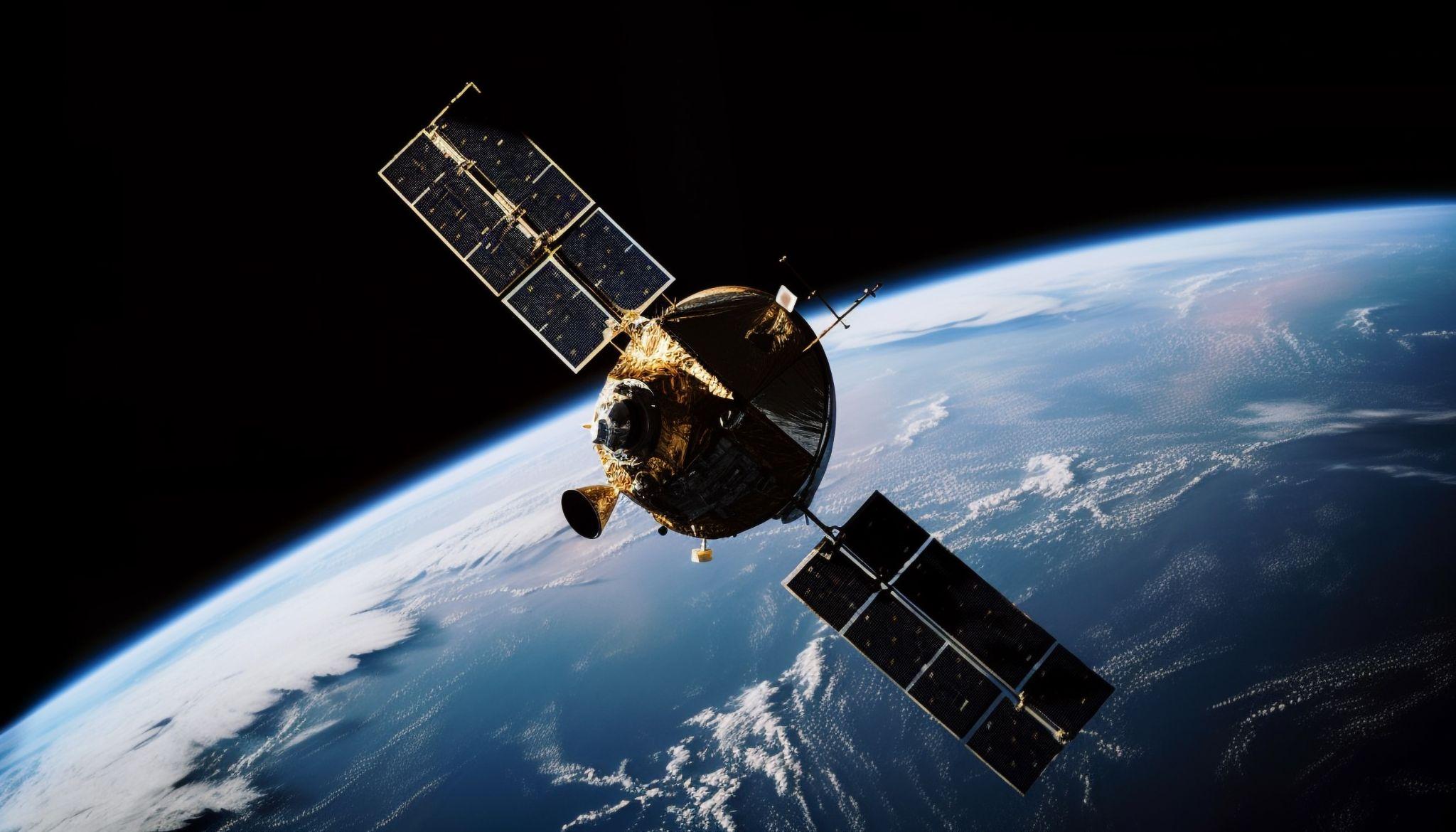
In addition to topographic maps, geologists use various other types of maps to study the Earth. Geologic maps show the distribution, nature, and age of rock formations at the surface. These maps help geologists understand the geological history of an area and identify resources like minerals and fossil fuels. Resource maps indicate the locations of natural resources such as water, minerals, and energy reserves, guiding exploration and extraction efforts. Hazard maps highlight areas prone to natural disasters like earthquakes, landslides, and floods, helping in disaster preparedness and mitigation. Each type of map provides specific information that helps geologists comprehensively understand and manage the Earth's resources and hazards.
Engage:
Ask the questions below to engage students and elicit their prior knowledge about this lab’s topics.
- What different landscapes have you seen or visited? (Mountains? Plains? Cliffs? Rivers? Tell us about it!) Answers may vary; I visited the mountains during summer vacation. They were very tall and had lots of trees.
- What information can maps tell us? Maps can show us where places are and what the land looks like, like if there are mountains or rivers.
- How do you think maps help us understand Earth’s history? Maps can show how the land has changed over time, like where rivers used to be or how mountains have formed.
Explore:
Ask the questions below as students complete the lab activity.
- What do you think your model will look like when it's finished? I think my model will look like a small version of a mountain with different layers of colors.
- How might the lines on the map help you shape your model? The lines show where the land goes up and down, so they help me know where to put each layer of clay.
- Why do you think these maps are useful to geologists? These maps help geologists see how high and low the land is and find out where different landforms are.
Explain:
Students may not know all of these answers immediately, but the slides will guide them through the concepts.
- What can maps show us about the landscape? Maps can show us mountains, valleys, rivers, and other features of the land.
Camp - HISTORY OF EARTH - Lesson 4 - Assessment Guide
NGSS Standard:
2-ESS2-2: Develop a model to represent the shapes and kinds of land and bodies of water in an area.
2-ESS1-1: Use information from several sources to provide evidence that Earth events can occur quickly or slowly.
Technology Standard:
ISTE.1.4.d Open-Ended Problems
Students exhibit a tolerance for ambiguity, perseverance and the capacity to work with open-ended problems
Technology Resource:
- ArcGIS online
- National Geographic Map Database
Lab Activity: Map It!
Lesson Objectives: After this lab activity, students will be able to:
- Use a topographic map to create a 3D model.
- Explain how geologists use topographic maps.
- Describe at least one other type of map that geologists use.
| Objective | Does Not Meet Expectations | Meets Expectations | Exceeds Expectations |
|---|---|---|---|
| Use a topographic map to create a 3D model. | The student cannot create a 3D model based on a topographic map. | The student can accurately use a topographic map to create a 3D model. | The student can analyze a topographic map, predict what the 3D model will look like, then accurately use the map to create the mode. |
| Explain how geologists use topographic maps. | The student cannot explain how geologists use topographic maps. | The student can explain how geologists use topographic maps. | The student can explain how geologists use topographic maps in both short term (climate change, weather events) and long term (mountain formations, valley formation) ways. |
| Describe at least one other type of map that geologists use. | The student cannot describe at least one other type of map that geologists use. | The student can describe one other type of map that geologists use. | The student can describe more than one other type of map that geologists use. |
Preview only · Full, printable materials come with the curriculum